Public Comment Report Greenways + Blueways 2020 Plan 30 Day Comment Period
|
|
|
- Harriet Collins
- 5 years ago
- Views:
Transcription
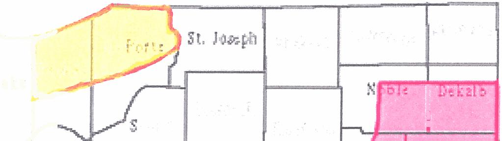
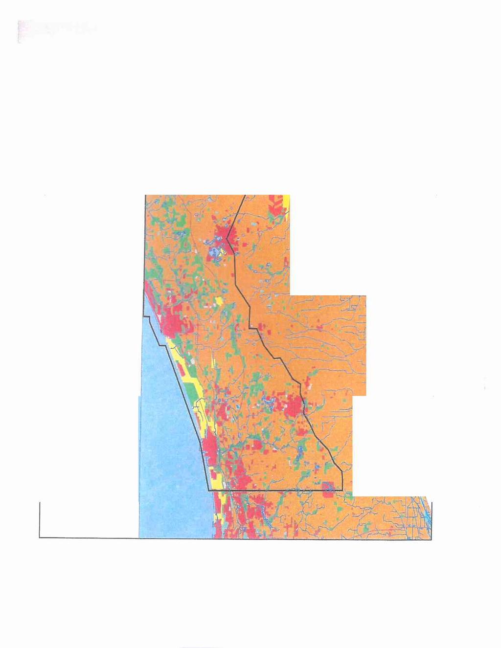
1 Public Comment Report Greenways + Blueways 2020 Plan 30 Day Comment Period The rthwestern Indiana Regional Planning Commission (NIRPC) held a 30 day public comment period on the draft Greenways + Blueways 2020 plan. The comment period began on October 21, 2016 and ended on vember 21, Greenways + Blueways 2020 combines the 2007 Greenways + Blueways plan and the 2010 Ped & Pedal Plan, and environmental elements of the 2040 Comprehensive Regional Plan. It is the first time that the areas of conservation, transportation, and recreation have all been combined into a single document for Lake, Porter, and LaPorte Counties. The plan was formed with input from public listening sessions and stakeholders with an interest in conservation of natural areas and open lands and non motorized transportation such as walking, biking, hiking, and paddling. As part of the public comment period, four public meetings were held: vember 2, 2016: NIRPC, 6100 Southport Road, Portage, IN, 6:00 to 8:00 p.m. vember 3, 2016: Merrillville Branch, Lake County Public Library, st Avenue, Merrillville, IN, 6:00 to 8:00 p.m. vember 14, 2016: East Chicago Public Library Main Branch, 2401 E. Columbus Drive, East Chicago, IN, 5:30 to 7:30 p.m. vember 16, 2016: Michigan City City Hall, 100 E. Michigan Boulevard, Michigan City, IN, 6:00 to 8:00 p.m. A draft of the plan was made available at and stakeholders were made aware via , a news release, and social media. The public was able to comment via , telephone, regular mail, and at the public meeting. Some comments received were deemed significant according to the definition set forth in the 2014 Public Participation Plan. Therefore, after proper edits are made, the plan will be made available for another 30 day public comment period.
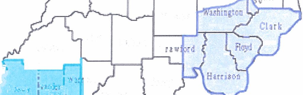
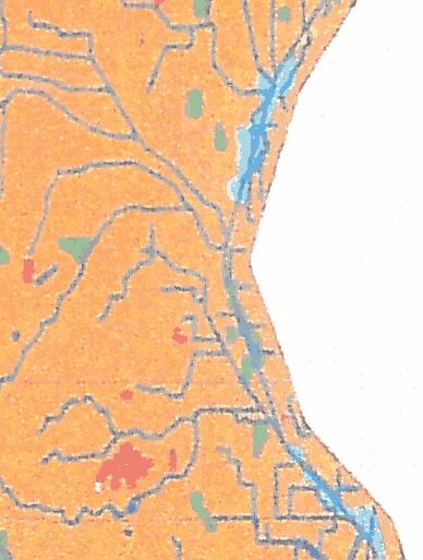
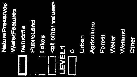
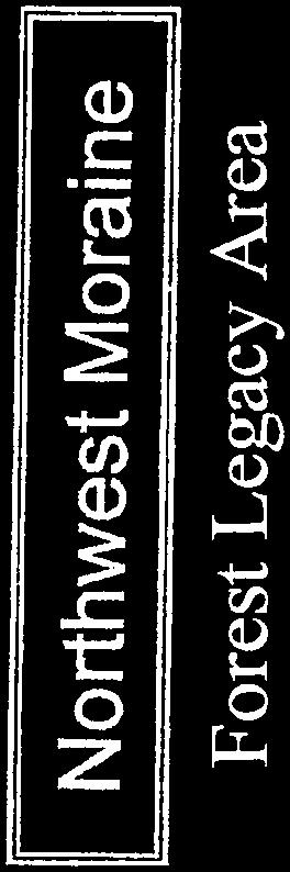
2 Comment Manner Considered by Staff Significant? Comment Received via USPS Need to Modify? Full letter from the La Porte County Conservation Trust, Inc. is attached to the end of this report. 1.a) Forest Legacy Area designation: NIRPC can include language about this program in the discussion of the Moraine Forest Area. 1.b) Moraine Forest "identity". NIRPC may include language in the goals of establishing public identites for the important conservation areas identified in this plan. 1.c) NIRPC will look at the recreation chapter and ensure clear languaguge tie in between conservation and recreation values. 2.) Weller Ave Culvert: NIRPC thinks there are number of culverts and other drainage structures throughout the region impeding recreational paddling and fish and wildlife movements. An implementation task to inventory these structures and plan for improvements in being added to the document. Where appropriate, this specific structure may be called out.
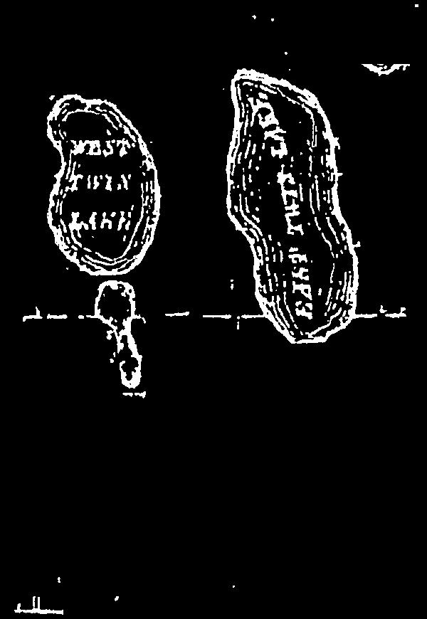
3 Comments Received via Overall I think it's terrific and so useful, but in Chapter 3, please include rowing/sculling in your description of Wolf Lake in Hammond. It is not an ideal rowing destination because it tends to get windy, and is only about 2k long, but it is a safe place otherwise, with few hazards and lots of take out points, and our club has been successfully practicing there for five plus years now. Early mornings and late afternoons/evenings tend to be the calmest. It has some potential as a community rowing club location, and I really want to get the word out in the Region about this sport. If it is appropriate, you could add to the plan that the Calumet College of St. Joseph rowing club practices there, and the Illiana Yacht Club is located there as well, for sailing, if that is not there already. We will add language regarding rowing and sculling for Wolf Lake. Full letter from the Town of Cedar Lake is attached at the end of this report. Cedar Lake requested additional weight be given to the conservation corridor in light of a Green Infrastructure Plan for a greenway along Cedar and Founders Creek that would include a connecting trail from Lemon Lake County Park to Cedar lake. NIRPC is appreciative of the supportive letter will expand on this in the environmental chapter and recreational chapter. Full text of comments from the group Health by Design is attached at the end of this report. NIRPC is reviewing these comments in detail and agrees with many of them. As a result, significant changes to the document will be made and a new draft will be released for a second public comment period in 2017.
4 Comments Received at Portage Public Meeting; vember 2, 2016 The Little Calumet River West Branch should be a conservation corridor area. Conservation Corridor Areas were identified by a combination of existing habitat resources, presence of protected land being actively managed for ecological purposes, and an active conservation plan being implemented in the area Publicly owned land in this current corridor is currently used primarily for active recreation such as golf courses or ball fields. while some publicly owned land within the floodplain and floodway could be valuable habitat, NIRPC is not aware of any plans in place to restore and manage them for that purpose. All of the goals within the transportation portion of the plan are fantastic! If we did all Thank you for your support! of those objectives, our region would look 100% different. For the better, of course! Use the Little Cal as a connector since there aren't a lot of good east/west trails. At this time the Little Calumet Levee Trail is being repaved as an asphalt route, and the plan proposes connections to Three Rivers County Park and Lake Station going east.
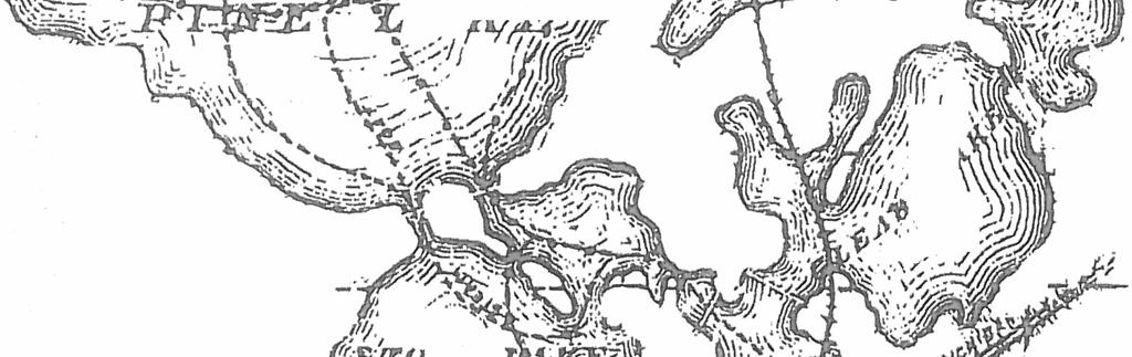
5 Add the Prairie Duneland Trail to the conservation area map. Conservation Corridor Areas were identified by a combination of existing habitat resources, presence of protected conservation land, and an active conservation plan being implemented in the area. The western terminus of the of the Prairie Duneland Trail is within the Hobart Marsh/Deep River Conservation Area. While there are small patches of habitat along the balance of the Prairie Duneland Trail, most of the route is through residential areas. The only significant natural managed land on the corridor in Imagination Glen, which might be better connected to other natural areas via the Salt Creek riparian corridor. Don't cut as much grass along the trails. Plant native species in the spots that are very wide. This is addressed at the top of Page R 12 of the plan. Link with the Calumet National Heritage Area and the Westlake Expansion TODs. NIRPC will add a text box about related future projects The trails are fantastic and are being connected more and more. However, I cannot get to the trails safely since the region does not adopt a complete streets vision. The plan discusses Complete Streets at length, and also mentions several policies in the Implementation section that address these needs. The plan has a lack of cultural and historical references to our various trails. As an example: I have seen little if any reference to the Elgin Joliet and Eastern RR bed as the reason we have the Prairie Duneland Trail. How would one know if one did not live here during the active period of that railroad? Due to limitations on space, the signage for the trail could read: 'Prairie Duneland Trail, aka EJ&E'. Reference could then be made to a website to provide more information. This sort of thing could be done to the other trails. This is an excellent idea and will be incorporated into the Implementation section. Specifically a new policy will be added to address this concern under Goal R2, Objective R2 1.
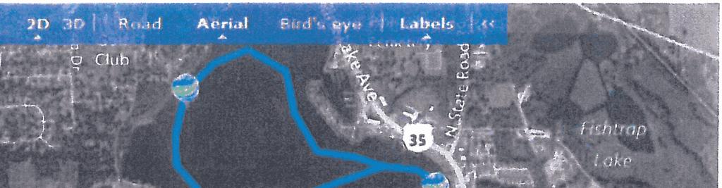
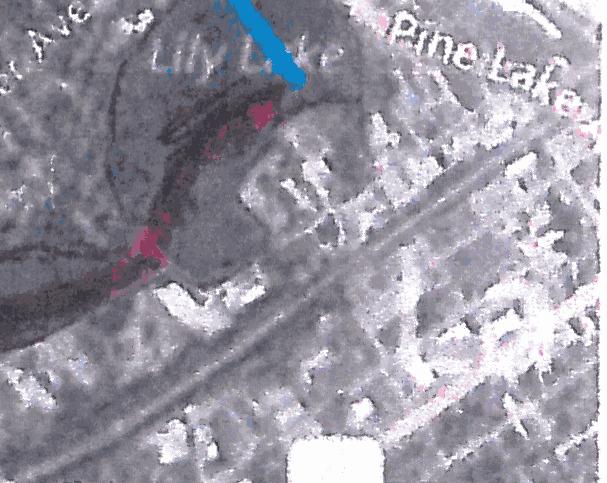
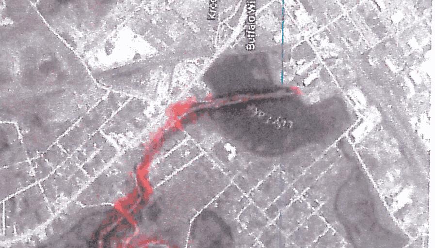
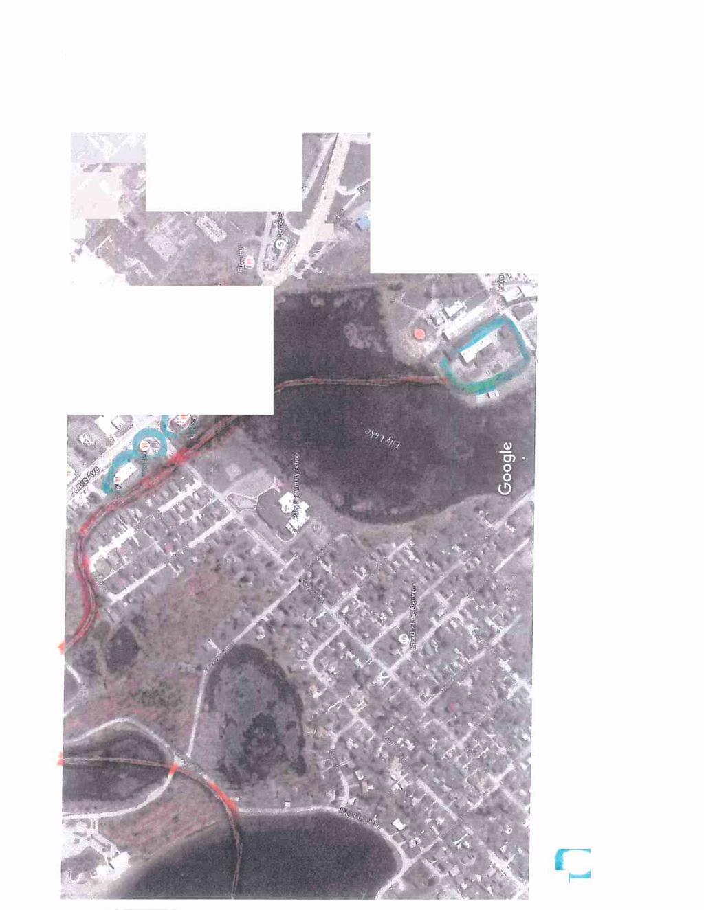
6 Along the trails, when there is a road crossing, river/creek crossing, or city/county border corssing (leaving/entering) signage would be very helpful. We are all "out oftowners" if we go very far. Signage along trails, or wayfinding, is addressed in the plan, and under Goal 2, Objective R2 2 in the Implementation section. On finite trails, mile markers would be useful, especially to the newcomers and those who have not yet obtained a bike computer or GPS. As an example: to keep signage at a minimum, including cost wise, assume an 18 mile trail. Signs could be 1/18 2/18 3/18 or 5/18 10/18 15/18 18/18. Mile marking signs are addressed within the plan. Each community will need to assess the level of detail regarding distances of signs. Complete the cleaning of the Little Calumet River, Salt Creek, Deep River, Burns Ditch, and others. These are proposed as part of opening up each for water trail useage. Comments Received at Merrillville Public Meeting; vember 2, 2016 There were no attendees at the Merrillville meeting. Therefore, no comments were received. Comments Received at East Chicago Public Meeting; vember 14, 2016 Thank you for identifying and developing the Thank you for your support! many interconnected relationships. Like the examples mentioned in the second paragraph on pp That's the beauty of this whole plan. Congratulations. Lake George should be metioned as part of the Blueways network like Wolf Lake is. There is currently dredging happening on the Grand Calumet between Hohman Avenue and the state line in Hammond. However, there is a railroad bridge that doesn't allow for paddlers to pass underneath, serving as a barrier going to or from Illinois. If the trail gap by the site of the State Line Generating Plant can be done, that will show some tremendous progress. Lake George is shallow and not always usable. Might be considered for seasonal use. The plan does encourage the cleaning and opening of potential water trail routes regionwide. This segment of the Grand Calumet River has been identified as a potential route. The trail connection is currently funded to the state line. Work is continuing with the City of Chicago to connect on the Illinois side and continue from there.
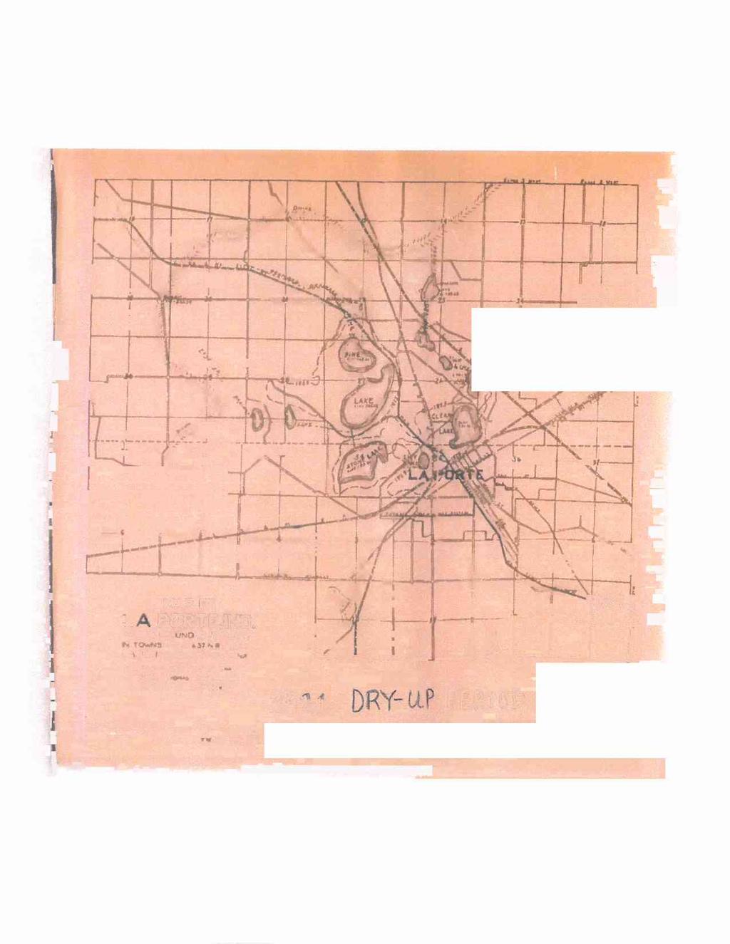
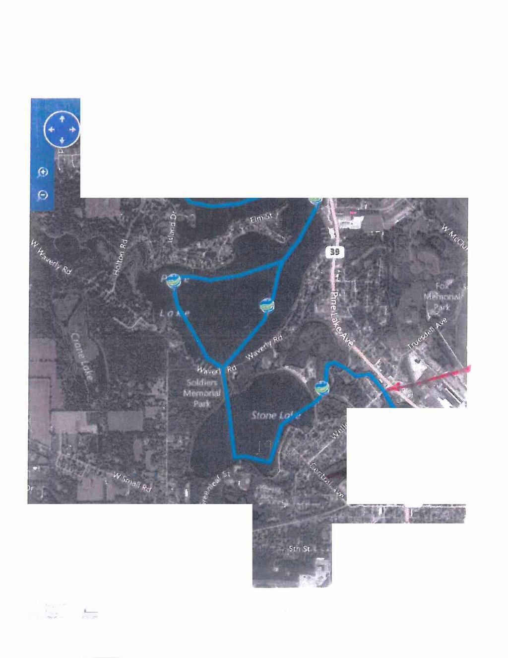
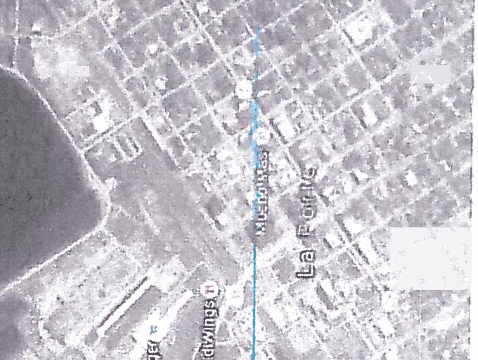
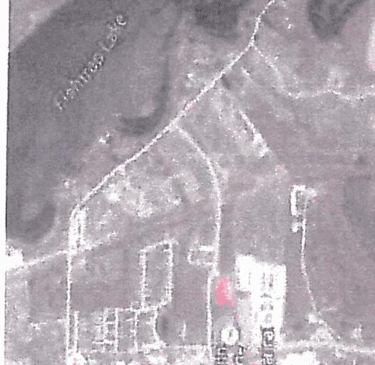
7 The intersection of Calumet Avenue and 45th Street in Munster is dangerous for nonmotorized users. Separation and a safer crossing for non motorized users is part of the plan for the reconfiguration and rebuilding of that intersection. Hohman Avenue in Hammond has dangerous parts as well. Hobart needs better signage for bicyclists in order to reduce confusion. The current ones are not very clear. Why does the Prairie Duneland Trail not connected to the Dunes Visitors Center? The City is working to provide bike lanes and safety alternatives for nonmotorized users. The City is working to get better signage throughout the city. After considering different alignments, the Town of Chesterton preferred the current corridor. Will there be a connection between the Oak Savannah and Erie Lackawanna Trails? Need a safe way to connect to Marktown in East Chicago since it's a nationallyrecognized historic site and is already attracting plenty of people. Work has started on connecting the two trails. Work should be completed by next year. The Buffington Priority Trail Corridor has been identified to connect these areas. We need more trails in urban areas to A number of potential trails are encourage fitness and provide better access located in urban areas and are to amenities, especially the South Shore Line strongly promoted by policies in the and the lakefront. plan. The Greenways + Blueways Map should include Steelworkers Park in Chicago, new trails that have been built in Illinois, and the US 30 overpass near the state line. The current Greenways + Blueways map is being printed in smaller and more frequent batches in order to keep it more current. Thank you for these corrections, they have been noted. Comments Received at Michigan City Public Meeting; vember 16, 2016 R 18 "The Lakes of LaPorte" Hennessey Pond should be called Hennessey Wetland or Hennessey Lake. The name has been changed to Hennessey Lake in the document.
8 Comments Received at Environmental Mgmt Policy Committee Meeting; v. 3, 2016 On the second conservation goal: The Cook County Forest Preserve District is working Coorindating access to open public space with transit providers is with PACE to reroute buses. People can take consistent with NIRPC's current work buses to the forest preserves and signage is on the Marquette Plan. NIRPC will about recreation and natural areas with transit operators to this document. posted about what to do. Could fit easily add an implemetation item to into the greenway centers idea. coordinate access and information Need to double check on access to Mill Creek. The only access was a boat rental, but it is in and out of business and having paddled it, it is unknown if there are any public access sites. People may be getting on through private property. One issue on connectivity is the highways and public ways crossing the areas and breaking up the corridors, particularly for larger wildlife. A trail or a road will stop the progression of the birds, turtles, snakes, etc. I don t see anything in the implementation part of the plan on coordination with INDOT to do things like wildlife overpasses/underpasses, taking riparian crossings on some of their roads to provide public access. When they do their construction planning those are things that have to be incorporated early. Is there some way you can have more of a connectivity with INDOT. NIRPC did no include Mill Creek as a blueway, but did receive input at a public meeting that at one time it was paddled. At this time it will remain without blueway designation. Transportation Goal 6 on page I 37 is attempting to address this concern. NIRPC will attempt to clarify the language to ensure that this comment is properly captured and that both wildlife and public recreational access is included.
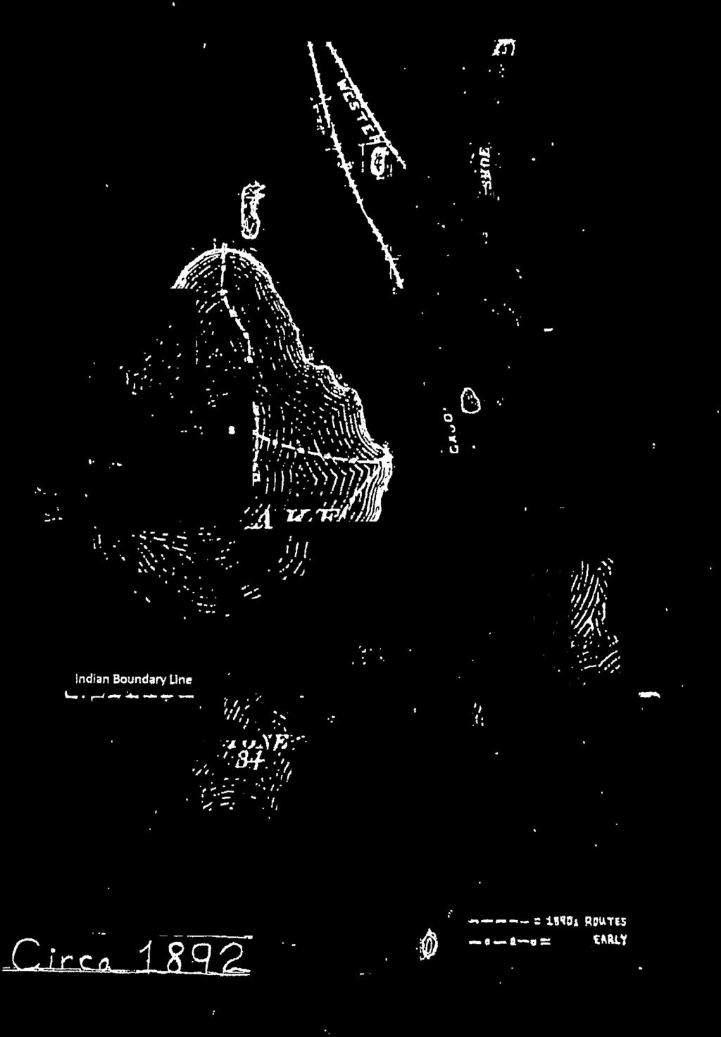
9 The key focus would be to find the particular areas and place and emphasis on those areas so you do have to kind of prioritize Identifying priority conservation those things. If they are doing highway areas in this planning document was construction, redoing bridges or buildings, a first step to incorporating special or culverts and things like that, get those conservation and recreation needs areas and as a group point out those fine into transportation infrastructure points. One area comes to mind, Highway project development. The specific 20. They ve been working on the bridges at location mentioned in the comment 20 and Mineral Springs. There is an Highway 20 and Mineral Springs unofficial public access under 20 that is a Road is within Conservation Area 2 perfect place that when INDOT does the Indiana Dunes and the Little Calumet bridge enhancement that they could provide Water Trail. a public access point there. It's important that you bring in transportation because INDOT was just approached on a couple of overpasses/underpasses involving pedestrians and the trail system, and also connectivity to schools and those kinds of things to avoid lights and they are just starting to become receptive to that. We are finding different funding mechanisms to fund those things. I think that s the logical next step, is we can also start to look at some of the conservation connectivity. First in the minds of the state and the transportation people is how we re moving people. You might check out Wisconsin and how their Department of Environmental Management have been working for their TMDL tracking and implementation so that their Department of Transportation has already incorporated some conservation measures directly with that. If you are looking for a pilot on how that started or where it might be, check out Wisconsin has been up to. Transportation Goal 6 on page I 37 is attempting to address this concern. NIRPC will attempt to clarify the language to ensure that this comment is properly captured and that both wildlife and public recreational access is included. NIRPC has conducted some of the research and modeled some of this work after examples in Wisconsin and will continue to pursue this further.


10
11

12
13


14

15


16
17


18


19


20


21


22
23
24
25 The following are comments received via from Health by Design. We think it would be helpful to have more clarity - particularly in the opening of the plan - about the overall purpose, rationale for doing it and how it will be used by the MPO and local agencies. The figure showing the spectrum of plan topics is useful, interesting and important. It seems there can be more deliberate connections made between the topics, though, throughout the document, to tie it all together. There are several places where data was presented, but not really analyzed/explained. Doing so might help to better guide the reader through the process/methods and lead more directly to proposed activities. Are you planning to have an overview map of the existing and proposed networks combining all three topics? o Along with that, some indication of prioritization and the process for developing priorities seems important There are a number of edits needed, throughout, and some figures, maps and tables have missing/incorrect info. There are also a few references missing. o Allan noted some of those specifics and can send them, if helpful. o The words alternative transportation are used in a few places; we ve tried to move away from that term, instead using transportation options or active transportation. o There is a fair amount of related jargon used throughout, as well, which may be worth We would be pleased to be included as a resource in the sections on Complete Streets and Safe Routes to School (T 9-10) o The responses to the survey about Complete Streets policies are very interesting let us know how we can help make more of them official! We have several comments related to the implementation chapter: o The goals and objectives presented seem appropriate. Often they are generalized in a way, though, that may be hard to track and measure. It may be worth rewriting some of them because of that. Along with that, they don t necessarily tie directly back to information presented in the earlier chapters, which seems important for continuity. o The policies element would be better named strategies or activities, as few of those approaches are actually policies. o Regarding performance measures, Do you have baseline data for them? If so, it should be included in some way. How will they be monitored and tracked? How will they be shared with stakeholders and the public? Thank you for the opportunity to weigh-in on the plan. We look forward to partnering with you on its implementation.
TRAIL INVENTORY. Appendix a. Trail INVENTORY A-1
 Appendix a Trail INVENTORY A-1 NIRPC - Off-Road Trails & Shared Route Inventory - Summer, 2010 The following tables represent the existing regional trails system in Northwest Indiana. Both signed shared
Meeting Report. Listening Session for Greenways + Blueways May 27, LaPorte County Solid Waste & Water Conservation Office, 6:00 8:00
 May 27, 2015 LaPorte County Solid Waste & Water Conservation Office, 6:00 8:00 Of the three meeting participants, two filled out the participant survey. The demographic results were as follows: o Caucasian:
REGIONAL inventory. ChapTER 4 REGIONAL INVENTORY 4-1
 ChapTER 4 REGIONAL INVENTORY 4-1 EXISTING REGIONAL INVENTORY I. NIRPC Routes The NIRPC region provides for non-motorized trips through a network of off (Class I) and on-road (Class II & III) facilities,
Regional Wayfinding Sign Strategy Thurston County Trails 2017
 Regional Wayfinding Sign Strategy Thurston County Trails 2017 Partners: Members and partnering organizations of the Thurston Thrives Community Design Action Team City of Lacey, City of Olympia, City of
CHAPTER 5. Chapter 5 Recreation Element
 CHAPTER 5 Recreation Element Chapter 5 Recreation Element The Recreation Element of the Meyers Area Plan is a supplement to the Recreation Element of the TRPA Regional Plan and the El Dorado County General
MEETING SUMMARY. RE: Transportation, Access, and Connectivity Working Group #1
 MEETING SUMMARY DATE: June 14, 2016 TIME: 9:30AM - 11:30AM LOCATION: 77 West Jackson ATTENDEES: Madeline Shepherd, MPC Sonali Tandon, CTA Jason Navota, CMAP Allison Buchwach, Metra David Kralik, Metra
FEASIBILITY CRITERIA
 This chapter describes the methodology and criteria used to evaluate the feasibility of developing trails throughout the study areas. Land availability, habitat sensitivity, roadway crossings and on-street
2. Goals and Policies. The following are the adopted Parks and Trails Goals for Stillwater Township:
 D. PARKS AND TRAILS 1. Introduction Stillwater Township s population is relatively low, with most residents living on rural residences on large lots. The need for active park space has been minimal in
University Region Non-Motorized Plan 2015
 Non-Motorized Transportation Non-motorized facilities are important components to the transportation system. They provide an environmentally-friendly, low-cost mode of travel. Some of the facilities can
Non-Motorized Transportation
 Non-Motorized Transportation Non-motorized facilities are important components to the transportation system. They provide an environmentally-friendly, low-cost mode of travel. Some of the facilities can
Proposal to Redevelop Lower Kananaskis River-Barrier Lake. Bow Valley Provincial Park. Frequently Asked Questions
 Proposal to Redevelop Lower Kananaskis River-Barrier Lake Bow Valley Provincial Park Frequently Asked Questions What is being proposed? What are the details of the proposal? Where is the project area located?
Committee. Presentation Outline
 CW-33-15 11/9/2015 Community and Corporate Services Committee November 10, 2015 1 Presentation Outline Background Vision and Objectives Study Process and Timeline Public and Stakeholder Engagement Organization
Georgetown-Lewes Rail/Trail Study. Rail/Trail Study: Cool Spring to Cape Henlopen State Park New Road Extension (House Resolution No.
 Georgetown-Lewes Rail/Trail Study Rail/Trail Study: Cool Spring to Cape Henlopen State Park New Road Extension (House Resolution No. 47) August 22, 2011 Presentation Outline Background Benefits Statewide
A CASE FOR COMPLETING THE JORDAN RIVER PARKWAY: A
 A CASE FOR COMPLETING THE JORDAN RIVER PARKWAY: A safe crossing at 9000 South and 850 West Proposed 9000 South Underpass Parkway Timeline Parkway, Trail, and Tourism Facts Blueprint Jordan River 1971 1973
Draft Public Comment Report Northwestern Indiana Regional Planning Commission April 4, 2014
 Draft Public Comment Report Northwestern Indiana Regional Planning Commission April 4, 2014 The Northwestern Indiana Regional Planning Commission (NIRPC) is sponsored a 30 day public comment period and
Proposal to Redevelop Lower Kananaskis River-Barrier Lake. Bow Valley Provincial Park
 Frequently Asked Questions Proposal to Redevelop Lower Kananaskis River-Barrier Lake Bow Valley Provincial Park Frequently Asked Questions What has been decided? What are the details of the plan? What
AGENDA ITEM 5 D WAKULLA ENVIRONMENTAL INSTITUTE (WEI) TRAIL FEASIBILITY STUDY
 TRAIL FEASIBILITY STUDY") March 19, 2018 AGENDA ITEM 5 D WAKULLA ENVIRONMENTAL INSTITUTE (WEI) TRAIL FEASIBILITY STUDY TYPE OF ITEM: Action STATEMENT OF ISSUE The Wakulla Environmental Institute (WEI) Trail is one of several trails
March 19, 2018 AGENDA ITEM 5 D WAKULLA ENVIRONMENTAL INSTITUTE (WEI) TRAIL FEASIBILITY STUDY TYPE OF ITEM: Action STATEMENT OF ISSUE The Wakulla Environmental Institute (WEI) Trail is one of several trails
ROAD AND TRAIL PROJECT APPROVAL
 ROAD AND TRAIL PROJECT APPROVAL www.marincountyparks.org Marin County Parks, 3501 Civic Center Dr, Suite 260, San Rafael, CA 94903 DATE: July 12, 2017 PRESERVE: Gary Giacomini Open Space Preserve PROJECT:
Auburn Trail / Ontario Pathways Trail Connector Feasibility Study Public Information Meeting Wednesday, August 22, 2012
 Auburn Trail / Ontario Pathways Trail Connector Feasibility Study Public Information Meeting Wednesday, August 22, 2012 Purpose of Feasibility Study Purpose Evaluate the feasibility of constructing a multiuse
MEETING MINUTES District 1 Trail Planning Meeting 1
 MEETING MINUTES District 1 Trail Planning Meeting 1 June 1, 2017 2:00 PM 3:30 PM City of Two Harbors 2:00 Introductions Attendees: Lisa Austin, MnDOT Bryan Anderson, MnDOT Jasna Hadzic-Stanek, MnDOT Justin
MUNICIPALITY OF ANCHORAGE
 MUNICIPALITY OF ANCHORAGE ANCHORAGE PARKS & RECREATION Memorandum PRC 08-56 DATE: 5 August 2008 TO: FROM: SUBJECT: Parks & Recreation Commission Holly Spoth-Torres, Park Planner PRC 08-56 Far North Bicentennial
Rogue River Access and Management Plan Draft Alternatives
 Rogue River Access and Management Plan Draft Alternatives The Rogue River Access and Management Plan was initiated in December, 2011 and is being led by Jackson County Parks (JCP) and Oregon Department
A Vision for South Skunk River and Chichaqua Bottoms Greenbelt
 A Vision for South Skunk River and Chichaqua Bottoms Greenbelt Photo: Jim Pease Chichaqua Bottoms Booklet 7 of 8 Greater Des Moines Water Trails and Greenways 1 2016 Table of Contents Booklet 1: Water
Coast to Coast Connector Summit
 Project Partners Welcome to the Coast to Coast Connector Summit Winter Garden, Florida City Hall October 1, 2014 1 Why are we here? Objectives 1. Inform key stakeholders on the current state of the C2C
IL 390 Station. Wood Dale Open House Summary 5/18/17
 Wood Dale Open House Summary 5/18/17 The first public open house for the Wood Dale Comprehensive Plan took place on May 18 th, 2017. The program was conducted as a fun community event and there were 216
Chatsworth Branch Library Devonshire Street, Chatsworth, CA Thursday, November 16, :00-8:00 pm
 Chatsworth Branch Library 21052 Devonshire Street, Chatsworth, CA 91311 Thursday, November 16, 2017 6:00-8:00 pm Project Team County of Los Angeles Department of Parks and Recreation Kathline King Chief
Welcome to the future of Terwillegar Park a Unique Natural Park
 Welcome to the future of Terwillegar Park a Unique Natural Park 1 Introduction The Terwillegar Park Concept Plan study will develop an overall concept plan, management objectives and development guidelines
Citrus Heights Creek Corridor Trail Project Trail Advisory Group Field Trip #2 September 11, :00 11:00 am Trellis Hall, Citrus Heights
 September 11, 2013 9:00 11:00 am Trellis Hall, Citrus Heights Project Overview The City of Citrus Heights is studying the feasibility of establishing a multi use trail system within the City s 26 miles
Chapter 6. Action Program. Heart of the Lakes Area Recreation Plan
 Heart of the Lakes Area Recreation Plan 1. Design and construct the following trails (please see the following map): a. the Speedway Trail 1) primary pathway the main trail 2) secondary pathway the proposed
Stevenson Ranch Library The Old Road, Stevenson Ranch, CA Thursday, November 9, :00-8:00 pm
 Stevenson Ranch Library 25950 The Old Road, Stevenson Ranch, CA 91381 Thursday, November 9, 2017 6:00-8:00 pm Project Team County of Los Angeles Department of Parks and Recreation Kathline King Chief of
Blueways: Rivers, lakes, or streams with public access for recreation that includes fishing, nature observation, and opportunities for boating.
 Parks, Open Space and Trails PRINCE WILLIAM COUNTY 2008 COMPREHENSIVE PLAN TRAILS PLAN CONTENTS The components of the trails plan are: Intent Definitions Goals, Policies, and Action Strategies Trails Map
The following trails completed their work utilizing funds awarded by the Greenways Foundation:
 The Greenways Foundation Grant Awards 2013 and 2014 Our grant program has been in place since 2012 and is funded entirely by the proceeds received through our Indiana BMV specialty license plate. Please
Hudson Highlands Fjord Trail Draft Master Plan. April 29, 2015
 Hudson Highlands Fjord Trail Draft Master Plan April 29, 2015 Agenda Route Overview Proposed Segment Results of Community Survey on that Segment Next Steps Municipal Endorsement Environmental Review Implementation
Green Legacy. Securing our. Greenlands Strategy
 Greenlands Strategy Securing our Green Legacy Together we can create an interconnected network of Greenlands for the health and well-being of the environment and future generations Caring for the Credit
2016 Regional Transportation Alternatives Program (TAP) Grant Application
 Grant Application") 2016 Regional Transportation Alternatives Program (TAP) Grant Application PROJECT TITLE: Yelm-Tenino Trail Extension Feasibility Study TRPC use only GENERAL PROJECT INFORMATION Agency or Organization City
2016 Regional Transportation Alternatives Program (TAP) Grant Application PROJECT TITLE: Yelm-Tenino Trail Extension Feasibility Study TRPC use only GENERAL PROJECT INFORMATION Agency or Organization City
City of Durango 5.8 FUNDING TRAILS DEVELOPMENT
 5.8 FUNDING TRAILS DEVELOPMENT The City has been successful in establishing dedicated local funding sources as well as applying for grants to develop the City s trail system, having received nearly $2.4
Strengthening the Ontario Trails Strategy. Report on Consultations and the Environmental Bill of Rights Registry
 Strengthening the Ontario Trails Strategy Report on Consultations and the Environmental Bill of Rights Registry Purpose To report on the feedback and information received through the regional consultations,
The Recreational Trail along Cushing Park road has been a successful addition to the city
 The Recreational Trail along Cushing Park road has been a successful addition to the city Trails TRAILS, PATHS, ROUTES AND CONNECTORS Citizen input pointed to trails, paths, bike routes, and other non-motorized
MPRB: Southwest LRT Community Advisory Committee Issues and Outcomes by Location Current to: 12 November 2010
 MPRB: Southwest LRT Community Advisory Committee Issues and Outcomes by Location Current to: 12 November 2010 This is a compilation of issues and outcomes identified by the CAC. It is a work in progress,
Chapter 6: POLICY AND PROCEDURE RECOMMENDATIONS
 Chapter 6 POLICY AND PROCEDURE RECOMMENDATIONS FOR SRRA Below are seven policy elements that should be considered for adoption by the Southwest Regional Recreation Authority of Virginia: 1. Develop strategies
DRAFT Appendix A Appendix B. Planning Process & Public Participation
 1 2 3 4 5 Appendix A Appendix B Planning Process & Public Participation This chapter provides an overview of the planning process. Summaries of public input for the comprehensive planning process are provided.
GOLDEN BACKCOUNTRY RECREATION ADVISORY COMMITTEE (GBRAC)
") GOLDEN BACKCOUNTRY RECREATION ADVISORY COMMITTEE (GBRAC) MINUTES from November 1, 2006 Meeting Attending: Sector / Stakeholder GBRAC Commercial Aerial Motorized Sector GBRAC Habitat Protection; Sport Fishing
GOLDEN BACKCOUNTRY RECREATION ADVISORY COMMITTEE (GBRAC) MINUTES from November 1, 2006 Meeting Attending: Sector / Stakeholder GBRAC Commercial Aerial Motorized Sector GBRAC Habitat Protection; Sport Fishing
Capital Prioritization
 14 Capital Prioritization 279 279 280 Park & Recreation CAPITAL PRIORITIZATION As described in Chapter 8, the recommendations presented in Chapter 9 are prioritized to provide a guide for future capital
US 380 FEASIBILITY STUDY
 US 380 FEASIBILITY STUDY Denton County CSJ(s): 0135-10-061, 0135-10-062 Public Meeting(s): January 15 & 22, 2019 WELCOME US 380 Denton County Feasibility Study DALLAS DISTRICT PUBLIC MEETING January 15
Logo Department Name Agency Organization Organization Address Information 5700 North Sabino Canyon Road
 Logo Department Name Agency Organization Organization Address Information United States Forest Coronado National Forest 5700 North Sabino Canyon Road Department of Service Santa Catalina Ranger District
GREATER DES MOINES WATER TRAILS AND GREENWAYS PLAN
 GREATER DES MOINES WATER TRAILS AND GREENWAYS PLAN A shared vision for our rivers, creeks and greenways. www.dmampo.org/water-trails Des Moines Area MPO Iowa Department of Natural Resources dmampo.org/water-trails
Blue River Trail Master Plan JSA to Town Hall June 2004
 Blue River Trail Master Plan JSA to Town Hall June 2004 Prepared for: Silverthorne Town Council Silverthorne SPORT Committee Department of Recreation and Culture Silverthorne Public Works Silverthorne
Committee Report. Community Development Committee For the Metropolitan Council meeting of April 13, Business Item No.
 Committee Report Business Item No. 2016-48 Community Development Committee For the Metropolitan Council meeting of April 13, 2016 Subject: Harriet Island-South St. Paul Regional Trail Master Plan, Saint
2009 RIVER TOWN OF THE YEAR AWARD APPLICATION Supplemental Material Images
 2009 RIVER TOWN OF THE YEAR AWARD APPLICATION Supplemental Material Images Our History The earliest record of settlement along the river is in 1854; one of the earliest in Carroll County. About this time
NAPAIMUTE TRIBAL SAFETY PLAN Tribal Transportation Program
 Adopted and Approved April 30, 2015 Amended August 2016 NAPAIMUTE TRIBAL SAFETY PLAN Tribal Transportation Program Native Village of Napaimute Napaimute Traditional Council INTRODUCTION The Native Village
EXECUTIVE SUMMARY PROGRAM DEVELOPMENT REPORT PURPOSE EXISTING SETTING EXPANDING PARKLAND
 EXECUTIVE SUMMARY PROGRAM DEVELOPMENT REPORT PURPOSE As the culmination of the first phase of the master planning process, this Program Development Report creates the framework to develop the Calero County
Explore the Bay the Green Way
 Explore the Bay the Green Way Botany Bay Trail Pre-Feasibility Study Report Nick Benson Sutherland Shire Environment Centre August 2002 1 Botany Bay Trail Explore the Bay the Green Way Opportunities for
Yard Creek Provincial Park. Management Plan
 Yard Creek Provincial Park Management Plan Draft January 2010 Yard Creek Provincial Park Management Plan Approved by: telàlsemkin/siyam/chief Scott Benton Bill Williams Squamish Executive Director ation
DRAFT GENERAL IMPLEMENTATION PLAN AND SPECIFIC IMPLEMENTATION PLAN MIDDLETON MUNICIPAL AIRPORT MOREY FIELD. Revised 12/12/03
 DRAFT GENERAL IMPLEMENTATION PLAN AND SPECIFIC IMPLEMENTATION PLAN MIDDLETON MUNICIPAL AIRPORT MOREY FIELD Revised 12/12/03 As recommended for approval by the Plan Commission General Project Description
Trail # NW Tuesday, June DESIGN. Provide an Review the Provide an. Project Goals: System system. wayfinding
 I. Welcome / Introductions Bethany Creek Trail #2 Segment 3 Neighborhood Meeting #1 Bethany Presbyterian Church 15505 NW Springville Road, Portland, OR 97229 Tuesday, June 26, 2018 @ 6:00PM Meeting Minutes
Business Item No
 Metropolitan Parks and Open Space Commission Meeting date: February 6, 2018 For the Community Development Committee meeting of February 20, 2018 For the Metropolitan Council meeting of February 28, 2018
Chapter 2: Entire US287 Corridor
 Chapter 2: Entire US287 Corridor The US287 Study Area spans four incorporated jurisdictions and two counties. Due to the length and density of infrastructure along the US287 Study Area, corridor-wide maps
COASTAL CONSERVANCY. Staff Recommendation December 2, 2004 COYOTE HELLYER COUNTY PARK BAY AREA RIDGE TRAIL
 COASTAL CONSERVANCY Staff Recommendation December 2, 2004 COYOTE HELLYER COUNTY PARK BAY AREA RIDGE TRAIL File No. 04-057 Project Manager: Amy Hutzel RECOMMENDED ACTION: Authorization to disburse up to
Flow Stand Up Paddle Board Parkway Plan Analysis
 Regional Parks Department Jeffrey R. Leatherman, Director County of Sacramento Divisions Administration Golf Leisure Services Maintenance Rangers Therapeutic Recreation Services Flow Stand Up Paddle Board
Waukee Trailhead Public Art and Amenities Project
 Waukee - Trailhead Public Art and Amenities Project Sponsor Waukee Project Title Waukee Trailhead Public Art and Amenities Project Termini Description ( i.e. Park Avenue to 19th Street) NE Intersection
INGHAM COUNTY TRAILS AND PARKS TASK FORCE MEETING 2
 INGHAM COUNTY TRAILS AND PARKS TASK FORCE MEETING 2 October 22, 2015 Mannik and Smith Group Michigan Trails & Greenways Alliance AGENDA FOR TONIGHT 1. Project Approach, Process and Timeframe 2. Public
Project Deliverable 4.1.3d Individual City Report - City of La Verne
 Pomona Valley ITS Project Project Deliverable 4.1.3d Individual City Report - City of La Verne Prepared by: April 19, 2002 099017000.1 Copyright 2002, Kimley-Horn and Associates, Inc TABLE OF CONTENTS
RECREATION. Land Trails R-1
 RECREATION The role of recreational activities within greenways corridors are significant. Indeed, planning for the enjoyment of our natural areas is a major component at nearly every governmental level,
Dumont Dunes Special Recreation Management Area (SRMA)
") Dumont Dunes Special Recreation Management Area (SRMA) RMA/RECREATION MANAGEMENT ZONE (RMZ) OBJECTIVE(S) DECISIONS Objective Statement: Designate this area as a Special Recreation Management Area. To manage
Dumont Dunes Special Recreation Management Area (SRMA) RMA/RECREATION MANAGEMENT ZONE (RMZ) OBJECTIVE(S) DECISIONS Objective Statement: Designate this area as a Special Recreation Management Area. To manage
System Group Meeting #1. March 2014
 System Group Meeting #1 March 2014 Meeting #1 Outcomes 1. Understand Your Role 2. List of Revisions to Existing Conditions 3. Information Sources Study Area The Purpose of Mountain Accord is to Preserve
PROUDLY BRINGING YOU CANADA AT ITS BEST. Management Planning Program NEWSLETTER #1 OCTOBER, 2000
 PROUDLY BRINGING YOU CANADA AT ITS BEST VUNTUT NATIONAL PARK Management Planning Program NEWSLETTER #1 OCTOBER, 2000 INTRODUCTION This newsletter launches the development of the first management plan for
Arvidson, Adam R. Adam,
 Arvidson, Adam R. From: Andrew Hestness Sent: Wednesday, May 18, 2016 5:39 PM To: Arvidson, Adam R. Cc: Renee Spillum; Schroeder, Michael Subject: RE: Park Dedication Attachments: FranklinPlan - Bystrom
Preferred Recreation Recommendations Stemilt-Squilchuck Recreation Plan March 2018
 Preferred Recreation Recommendations Stemilt-Squilchuck Recreation Plan March 2018 Below are the recommended recreation ideas and strategies that package together the various recreation concepts compiled
Segment 2: La Crescent to Miller s Corner
 goal of the USFWS refuges is to conserve, protect and enhance fish, wildlife and plants and their habitats for the continuing benefit of the American people. Refuge lands are used largely for fishing,
Wilds. Headwaters. Lakes. Oxbows. Falls
 56 5 4 3 Wilds Headwaters Lakes Oxbows Falls 57 Zones It could be said the on-the-ground essence of this master plan appears within the next 6 pages of this report. As we learned in the preceding Cultural
Business Item No XXX. Proposed Action That the Metropolitan Council approve the Coon Creek Regional Trail Master Plan.
 Business Item No. 2015-XXX Metropolitan Parks and Open Space Commission Meeting date: July 7, 2015 For the Community Development Committee meeting of July 20, 2015 For the Metropolitan Council meeting
EAST DON TRAIL ENVIRONMENTAL ASSESSMENT. Community Liaison Committee Meeting #3 July 15, :30 to 8:30 pm Flemingdon Park Library
 EAST DON TRAIL ENVIRONMENTAL ASSESSMENT Community Liaison Committee Meeting #3 July 15, 2013 6:30 to 8:30 pm Flemingdon Park Library Agenda 1. Welcome 2. Housekeeping and Updates a) Housekeeping b) CLC
COPPER HERITAGE TRAIL CONCEPTUAL PLAN 2011
 COPPER HERITAGE TRAIL CONCEPTUAL PLAN 2011 A Proposed 40 Mile Non-Motorized Rail Trail Route Connecting The Historic Communities Of the Copper Country Prepared For: Western Upper Peninsula Health Department
ADVENTURE PLAN EXPLORE PARK
 ADVENTURE PLAN ROANOKE COUNTY S EXPLORE PARK ROANOKE COUNTY PARKS, RECREATION AND TOURISM 1206 KESSLER MILL RD SALEM, VA 24153 (540) 387-6078 WHAT S INCLUDED? Explore Park Adventure Plan - Guided by extensive
Clam Harbour Provincial Park
 Clam Harbour Provincial Park Public Engagement Session Thursday, September 14 th, 2017 5:30pm 7:30pm Webbers Store 11470 Nova Scotia Trunk 7 Lake Charlotte, NS Agenda Overview of the Provincial Parks System
South of Fraser Transportation Priorities March 2017 Engagement
 March 20 Engagement Welcome to the South of Fraser Transportation Priorities Engagement A robust and reliable highway network is needed to serve the needs of a growing population and diverse economy. The
Lake Tahoe Shoreline Plan 03 Policy Topic: Access Issues
 Lake Tahoe Shoreline Plan 03 Policy Topic: Access Issues V9 Last Updated 03.10.2017 1 Brief Description Physical access to the waters of Lake Tahoe is one of the key issues surrounding the Shoreline Plan
City of Haslett. City of East Lansing. City of East Lansing
 Central Park North (Nancy L. Moore Park) Lake Park North Expansion White Park Expansion #2 White Park Expansion #1 County East East Haslett East East TF87-212 Acquisition $90,000.00 Park. TF08-138 Acquisition
Attachment D: PHOTO LOG CITY OF ARCATA RAIL-WITH-TRAIL CONNECTIVITY PROJECT
 01051-09004 Attachment D: PHOTO LOG CITY OF ARCATA RAIL-WITH-TRAIL CONNECTIVITY PROJECT DRAFT: June 30, 2010 Applicant: City of Arcata 736 F Street Arcata, CA 95521 Phone (707) 825-2154 Prepared by: Winzler
DRAFT - APRIL 13, 2007 ROUTING STUDY FOR TRAIL CONNECTIONS BETWEEN CALAIS AND AYERS JUNCTION
 DRAFT - APRIL 13, 2007 ROUTING STUDY FOR TRAIL CONNECTIONS BETWEEN CALAIS AND AYERS JUNCTION Abstract The vision for the East Coast Greenway is an off-road urban trail system running from Calais, Maine
The Hobart Marsh Plan
 The City of Hobart This document was produced with the support of the National Oceanic and Atmospheric Administration and the Indiana Department of Natural Resources, Lake Michigan Coastal Program. This
Nov. 19 th Public Workshop Summary
 On November 19 th, more than 60 community members attended an Open Space Matters workshop at the Linen Building in downtown Boise for over two hours. Participants learned about reserves, discussed the
Trails. Lois Jensen Nature Preserve is a 30 acre parcel on the north end of the city. It provides unspoiled wooded paths.
 Trails Lois Jensen Nature Preserve is a 30 acre parcel on the north end of the city. It provides unspoiled wooded paths. TRAIL S, PATHS, ROUTES AND CONNECTORS Citizen input pointed to trails, paths, bike
North Shore Lacamas Lake
 North Shore Lacamas Lake January 27, 2017 A Vision for Conservation and Recreation Acknowledgements Funding Funding for this planning effort was provided by the City of Camas and the Columbia Land rust
Rule Governing the Designation and Establishment of All-Terrain Vehicle Use Trails on State Land
 Rule Governing the Designation and Establishment of All-Terrain Vehicle Use Trails on State Land 1.0 Authority 1.1 This rule is promulgated pursuant to 23 V.S.A. 3506. Section 3506 (b)(4) states that an
Thank you for this third opportunity to comment on the proposed revisions to the Coconino National Forest Management plan.
 March 19, 2014 Flagstaff Biking Organization PO Box 23851 Flagstaff, AZ 86002 Vern Keller Coconino National Forest Attn: Plan Revision 1824 South Thompson Street Flagstaff, Arizona 86001 coconino_national_forest_plan_revision_team@fs.fed.us
Update on Trinity Trails. Presented by: Richard Zavala, Director Park and Recreation Department February 7, 2017
 Update on Trinity Trails Presented by: Richard Zavala, Director Park and Recreation Department February 7, 2017 Overview Provide review of trail planning and development along the main stem Trinity River
PEMBERTON VALLEY RECREATIONAL TRAILS MASTER PLAN UPDATE Community Open House. April 2018
 PEMBERTON VALLEY RECREATIONAL TRAILS MASTER PLAN UPDATE Community Open House April 2018 Introductions Introductions Matt Bakker, BHA Project Coordinator Other Team Members: Liz Scroggins, Grey Owl Consulting
ETOBICOKE CREEK NORTH TRAIL PROJECT. May 18, 2017 at Michael Power High School 105 Eringate Drive, Etobicoke ON M9C 3Z7
 ETOBICOKE CREEK NORTH TRAIL PROJECT May 18, 2017 at Michael Power High School 105 Eringate Drive, Etobicoke ON M9C 3Z7 1 Purpose of Open House The purpose of today s open house is to present the design
Discussion Paper: Development of a Plan for Trails on Public Land
 Discussion Paper: Development of a Plan for Trails on Public Land APRIL 2017 The purpose of this Discussion Paper is to summarize the status & issues relating to District trails and feedback to date, and
METROPOLITAN EVANSVILLE TRANSIT SYSTEM Part I: Comprehensive Operations Analysis Overview July 9 th, 2015 Public Information Meeting
 METROPOLITAN EVANSVILLE TRANSIT SYSTEM Part I: Comprehensive Operations Analysis Overview July 9 th, 2015 Public Information Meeting AGENDA 5:30 5:40 Open House 5:40 6:30 Presentation Comprehensive Operations
Colorado Springs & Pikes Peak Region Destination Master Plan
 Colorado Springs & Pikes Peak Region Destination Master Plan Overview June 19, 2018 DESTINATION MASTER PLAN What is Destination Master Planning? Focus on infrastructure, facilities, services, attractions
Proposed Official Plan Amendment 41 to the Region of York Official Plan
 COMMITTEE OF THE WHOLE NOVEMBER 18, 2002 REGION OF YORK OFFICIAL PLAN AMENDMENT 41 THE OAK RIDGES MORAINE CONSERVATION PLAN Recommendation The Commissioner of Planning recommends: 1. That the City of Vaughan
National Outdoor Recreation Conference April 2018
 An Unorthodox Approach to Trail Planning for a Mountain Community National Outdoor Recreation Conference April 2018 Today s story Alta, Utah Winter vs. Summer Population Growth /Economic Development Trail
Trail Etiquette. Hours of Operation. Trail Accessibility
 Trail Guide The Elmhurst Park District, with 28 parks and over 460 acres of land, offers nearly six miles of paved or asphalt park trails and maintains an additional 3.6 miles of trails within Elmhurst.
Stony Creek Master Plan Public Meeting #2. May 21, 2016
 Stony Creek Master Plan Public Meeting #2 May 21, 2016 Today s Agenda 10:00 10:20 am Presentation 10:20 10:45 am Q & A 10:45 11:30 am Browse, discuss, and comment Metroparks Master Plan Process 4 months
Pinellas County Environmental Lands
 Pinellas County Environmental Lands In addition to traditional parks and recreation facilities, Pinellas County owns and manages a system of environmental lands that provides specialized resource-based
Welcome to the Illinois High-Speed Rail Chicago to St. Louis Construction Update Meeting. Today s meeting will provide an overview of the Program,
 Welcome to the Illinois High-Speed Rail Chicago to St. Louis Construction Update Meeting. Today s meeting will provide an overview of the Program, updates on construction to be held in this area, and how
BACKCOUNTRY TRAIL FLOOD REHABILITATION PROGRAM
 BACKCOUNTRY TRAIL FLOOD REHABILITATION PROGRAM Backcountry Trail Flood Rehabilitation A June 2013 Flood Recovery Program Summary In June 2013, parts of Southern Alberta were devastated from significant
Welcome and thank you for being here! Kick-Off Public Workshop November 19, 2014
 Welcome and thank you for being here! Kick-Off Public Workshop November 19, 2014 OPEN SPACE MATTERS: Boise s First Reserve Master Plan Julia Grant Foothills and Open Space Manager City of Boise Ellen Campfield